Maps and Geolocation
Functionality
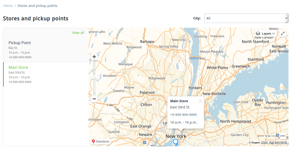
Maps by Google or Yandex on the following pages:
- checkout;
- customer profile;
- order details;
- list of stores and pickup points from the corresponding add-on.
Automatic detection of the customer’s city and the ability for the customer to choose a different city via the Customer location block. The automatically detected or selected city (along with country and state) will be used at checkout.
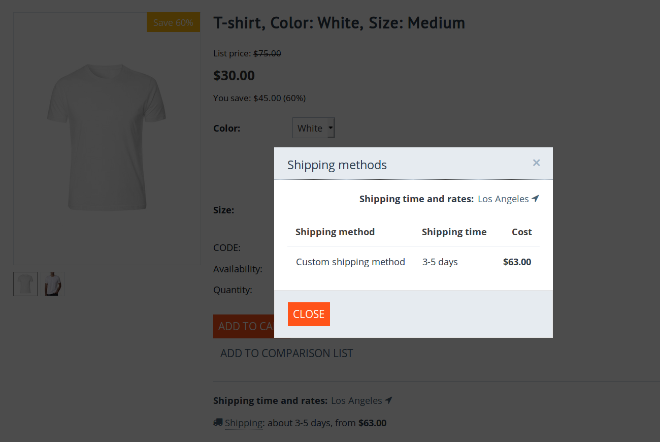
(optional) Location-dependent estimation of shipping rates and time on a product page.
Configuration
The Maps and Geolocation add-on is installed like any other add-on. Once the add-on is installed, click the add-on’s name to open its settings:
Provider determines the third-party service that your store uses for maps and geolocation:
Google is selected by default. However, for maps and geolocation to work, you’ll need to set up an API key at the Google website. Go to the Google Maps Platform page, select projects Maps and Places, and then follow the instructions on the page.
Note
There is also another way: go directly to Google Developers Console and manually enable Geocoding API, Places API, Maps JavaScript API, Geolocation API, and Maps Static API. In this case you’ll need to manually set up billing for your project (for example, link a credit card), or else the map won’t work.
Yandex can be chosen instead of Google. But for the maps and geolocation to work, you will need to create an API key for yourself on the Yandex website. Go to your Yandex developer account and get an API key for “JavaScript API and HTTP Geocoder”.
When you get an API key, just add it to the corresponding tab of the add-on’s settings and save the changes.
Show shipping cost and time on product pages does what it says: if you enable it, product pages will contain the time and rate estimations for the shipping methods available for the customer’s location.
Important
When using Google geolocation services, you may need to link a bank card. To avoid unexpected charges:
- Restrict or filter bot traffic at the server/CDN level.
- if you use Google services: set usage limits and billing alerts, or keep limited funds on the payment card used for API billing.
- if you use Yandex services: keep limited funds in your Yandex account.
Questions & Feedback
Have any questions that weren't answered here? Need help with solving a problem in your online store? Want to report a bug in our software? Find out how to contact us.